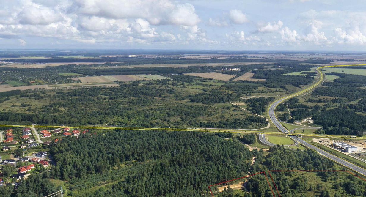
Location: The Subzone consists of one investment complex of plots: no. 26/2 (20,7837 ha), no. 6 (1,8113 ha), 36/4 (15,3556 ha), no. 33/1 (0,5177 ha). Total area of the complex is: 38,4683 ha.
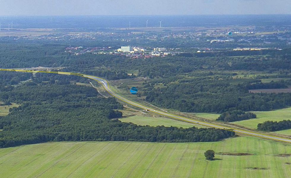
The site is located in the south-eastern part of the City of Slupsk and is situated next to the Slupsk’s bypass (Express Road no. S6). Distances:
National Road/Express Road/Motorway: Express Road no. S6 (Szczecin-Gdańsk)
Airport Gdańsk, Rębiechowo (120 km)
Sea Port: Gdynia (105 km) Ustka (30 km)
Railway station/Railway siding: Słupsk (11 km)
Zoning: According to the local spatial development plan for the Slupsk’s District “Przy Obwodnicy”: production, warehousing, storage facilities.