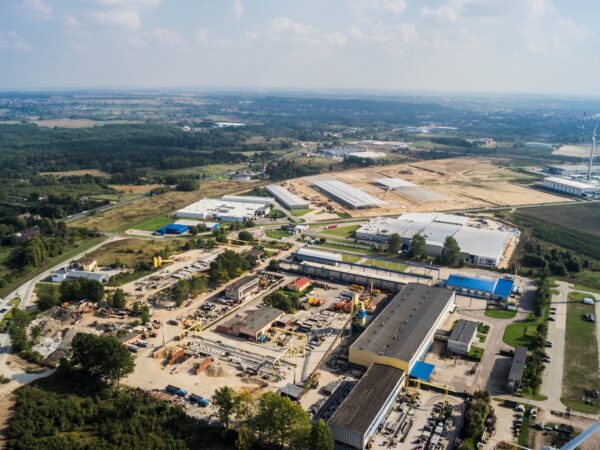
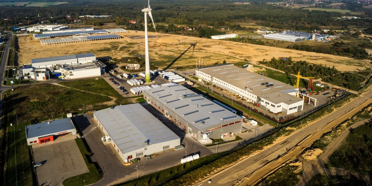
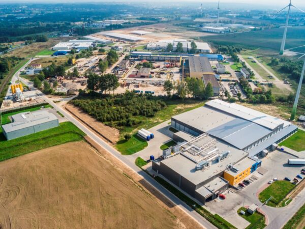
Subzone "Słupsk - Włynkówko"
Established: first lands of subzone were established in 1997 and its area total was 135,8701 ha (Regulation: Dz. U. 135, pos. 905 from 1997)
Location: Part of the lands are located within borders of City of Słupskand another part within borders of Commune of Słupsk in Włynkówko. The area is situated in the industrial part of the City of Slupsk, only 2 km away from the City Centre, by National Road no. 21. Direction Ustka (approx. 17 km to the City of Ustka). Through the site runs a road – Braci Staniuków Street, which was built by the Administrator of the Zone for our entrepreneurs. There is also a railway track line no. 405 crossing the Subzone (Słupsk-Ustka).
Zoning: According to the local spatial development plan for the Slupsk’s “District North”: production, warehousing, storage facilities.
Distances
National Road/Express Road/Motorway:
National Road no. 21 (Ustka-Miastko) – runs through the subzone
National Road no. 6 (Szczecin-Gdańsk) (8,5 km)Airport:
Gdańsk – Rębiechowo (130 km),
Szczecin – Goleniów (190 km)Sea Port:
Gdynia (115 km)
Ustka (15 km)
Świnoujście (225 km)Railway station/Railway siding
Słupsk (3,5 km)


