2005 – 42,1309 ha (regulation: Dz.U. 2005r. Nr 189, poz.1593)
Extended: 2007 – 53,3808 ha (regulation: Dz.U. 2007r. Nr 179, poz.1270)
Extended: 2016 – 2,1207 ha (regulation: Dz.U. 2016r. poz. 218)
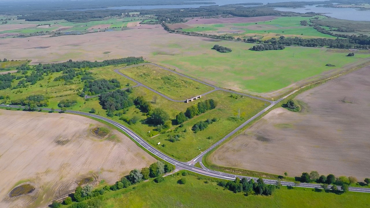
Location: Szczecinek is a very important road junction. Here cross two main routes: East-West (Gdynia – Szczecin) – National Road no. 20 and North-South (Bytom-Kołobrzeg) – National Road no. 11. There are works on building the city’s bypass and creating 4 separate bypass rings. In plans an Express Road no. 11 will run around Szczecinek’s City and one of the bypass ring will be located next the Subzone.
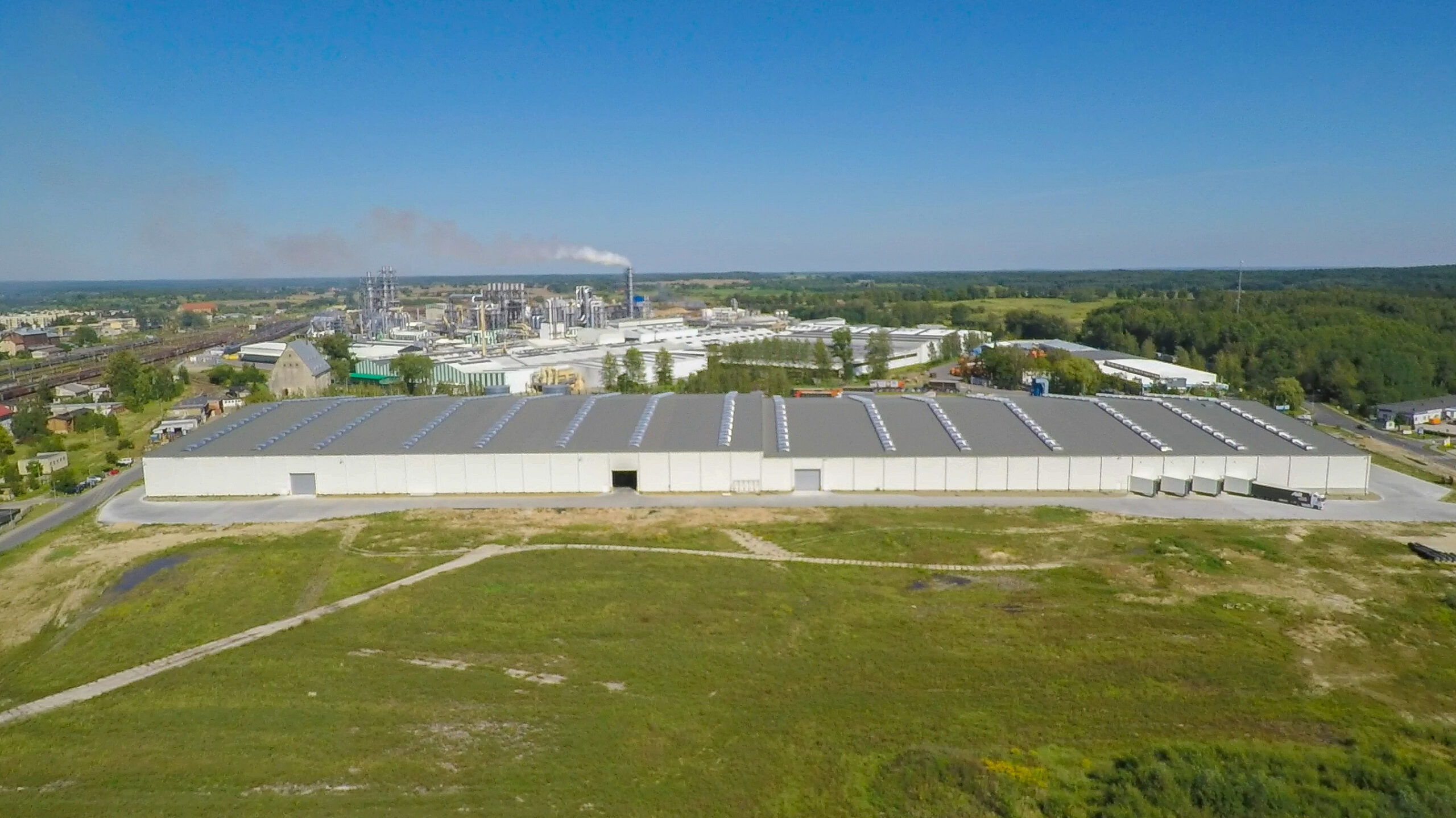
In Szczecinek there are 7 investment complexes which are included within the SSEZ:
complex no. II – 1,1958 ha
complex no. IV – 0,9249 ha
complex no. V – Narutowicza St. (2,09 ha)
complex no. VI – Łukasiewicza/Harcerska St. (4,1044 ha)
complex no. VII – Koszalińska St. by S11 (8,6050 ha)
complex no. VIII – Koszalińska St. by S11 (1,96 ha)
complex no. IX – Waryńskiego/Leśna St. (32 ha)
Distances:
National Road/Express Road/Motorway: National Road no. 20 (Stargard Szczeciński-Szczecinek-Gdynia) National Road no. 11 (Kołobrzeg-Szczecinek-Bytom)