Redzikowo

Show Redzikowo Investition Subzone of Slupsk Special Economic Zone on bigger map.
Map above shows only approximate location of Subzone

Subzone "Redzikowo"

Area: 63,3665 ha (Available: 30 ha)

Established: 2001 - 62,4777 ha (regulation: Dz. U. Nr 107, poz. 1175)

Extended: 2016 - 0,8888 ha (regulation: Dz.U. 2016, poz 218)

Location: The site is located in 5 km away from the City of Slupsk, along the National Road no. 6 (a part of an International Road no. E-28, Berlin-Kaliningrad), next to the bypass ring “Redzikowo” - the Slupsk’s Bypass, Express Road no. 6 (Szczecin-Gdańsk). Connection to Slupsk City Centre is provided by the Municipal Transportation Company.

Distances

  • National Road/Express Road/Motorway:
    Express Road no. S6, (Szczecin-Gdańsk)
  • Airport:
    Gdańsk, Rębiechowo (125 km)
  • Sea Port:
    Gdynia (105 km)

    Ustka (27 km)
  • Railway station/Railway siding:
    Słupsk (7,5 km)


Zoning: According to the local spatial development plan for the"Redzikowo-Wieszyno Area" of the Commune of Slupsk:
production, warehousing, storage facilities, logistics, travelers' point services

Click and see video of Redzikowo-Wieszyno and Słupsk-Włynkówko filmed by drone

redzikowo 2 redzikowo 3 redzikowo 10

fot. archiw. PARR S.A.

Entered by: Bartosz Switala

SSEZ Subzones

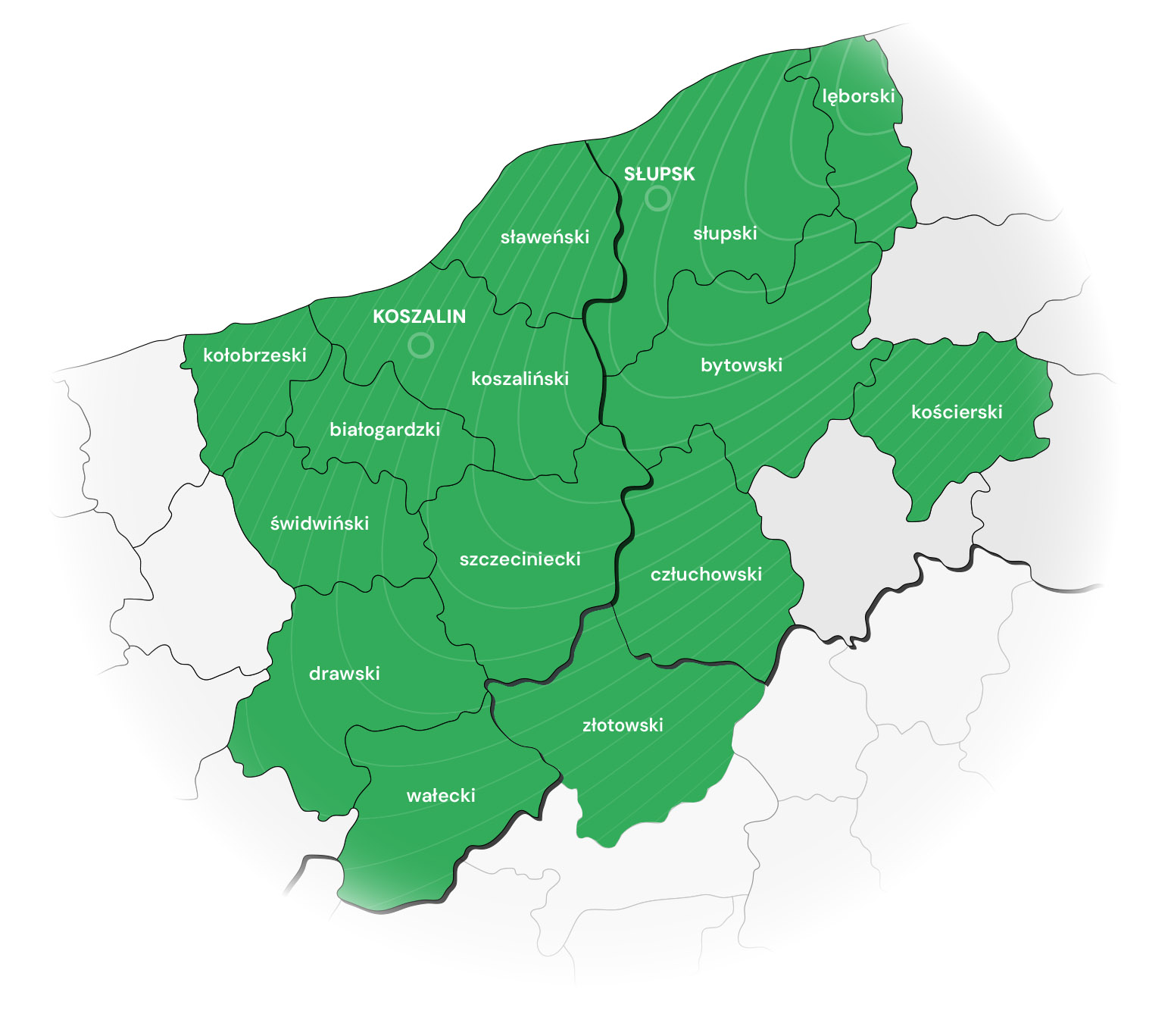
Slupsk Special Economic Zone consists of 18 Subzones and encompasses the area of more than 910 hectares. The Subzones are located in the Pomeranian and West Pomerania Regions.

Entrepreneurs active in the zone can take advantage of income tax exemptions until 31st December 2026.

Subzones of the Słupsk SEZ:

Pomeranian Region:

  • Subzone "Słupsk-Włynkówko" (100,2801 ha)
  • Subzone "Słupsk-Westerplatte" (38,4683 ha)
  • Subzone "Redzikowo" (63,3665 ha)
  • Subzone "Wieszyno" (82,1608 ha)
  • Subzone "Ustka" (9,1497 ha)
  • Subzone "Debrzno" (9,8736 ha)
  • Subzone "Czarne" (7,9157 ha)
  • Subzone "Lębork" (18,7968 ha)
  • Subzone "Płaszewko" (7,7796 ha)


Total area: 337,7911 ha


West Pomeranian Region:

  •     Subzone "Koszalin" (150,1655 ha)
  •     Subzone "Szczecinek" (97,6339 ha)
  •     Subzone "Wałcz" (56,7961 ha)
  •     Subzone "Polanów" (37,0116 ha)
  •     Subzone"Laski Koszaliński" (17,5800 ha)
  •     Subzone "Tychowo" (5,0448 ha)
  •     Subzone "Karlinko" (180,0846 ha)
  •     Subzone "Kalisz Pomorski" (9,3866 ha)
  •     Subzone "Darłowo" (18,6643 ha)


Total area: 572,3674

AREA IN SSEZ: 910,1585

Entered by: AJ

SSEZ Patronage

Map of Investment lands under the patronage of the SSEZ
Patronaty 2016

Click on map to enlarge it.

Management of the Zone has established cooperation with municipal offices and local authorities to cover the investment lands with the patronage of SSEZ.

Investment lands under the patronage of the SSEZ are located within the following municipalities:

Pomeranian Region:
1. Commune Potęgowo (40,8711 ha) 
2. Commune Kępice (Barcino - 14,3432 ha)
3. Municipality Słupsk (Sportowa - 20,3708 ha)
4. Commune Miastko (Wołcza Wielka - 8,0000 ha)

Total: 83,5851 ha

West Pomerania:
1. Municipality Sławno (56,8432 ha)
2. Commune Czaplinek (7,5859 ha)
3. Commune Bobolice (21,7438 ha)

Total: 86,1729 ha

TOTAL INVESTMENT LANDS: 169,7580 ha

Please feel free to contact us:
Mr Bartosz Switala
tel. (+48) 59 840 11 73
mobile (+48) 604 450 206
e-mail: This email address is being protected from spambots. You need JavaScript enabled to view it.

Update: 2018.011.19 MK

Płaszewko

Show Subzone Płaszewko of Special Economic Zone on bigger map
Map above shows only approximate location of subzone location.

Area: 7,7796 ha (area sold)
Location: Pomeranian Region, Slupsk Poviat, Slupsk Commune
Distances

  • National Road/Express Road/Motorway:
    Express Road no. S6, (Szczecin-Gdańsk)
  • Airport:
    Gdańsk, Rębiechowo (135 km)
  • Sea Port:
    Gdynia (110 km)
  • Railway station/Railway siding:
    Slupsk (5 km)

Zoning: industrial, services - Industrialplan...

Contact us in order to get more information:
+48 59 840 11 73
This email address is being protected from spambots. You need JavaScript enabled to view it.

Fotos of the area in Płaszewko - ...

6-Resizer-1280 20160529 140305 HDR Resizer 1280 20160529 140258 HDR Resizer 1280  

Owner of photos: Slupsk Commune

Entered by: AJ

Kalisz Pomorski

Subzone "Kalisz Pomorski"

Area: 9,3866 ha (whole area available)

Established: 2012 (regulation - Dz.U. 2012 poz. 360)

Location: The Subzone consists of one investment complex – a plot no.21 of 9,3866 hectares. The site is located between Przemyslowa and Kolejowa St. In the close vicinity runs a Voivodship Road no. 175 (Drawsko Pomorskie-Choszczno) and National Road no. 10 (Szczecin-Bydgoszcz). 


Distances:

  • National Road/Express Road/Motorway:
    National Road no. 10 (Lubieszyn-Szczecin-Kalisz Pomorski-Płońsk)
  • Airport:
    Szczecin, Goleniów (120 km)
  • Sea Port:
    Świnoujście (180 km)
  • Railway station/Railway siding:
    Kalisz Pomorski (1,2 km)


Zoning: According to the spatial development plan of Municipality of Kalisz Pomorski: industry, production, warehousing, storage

Kalisz pom mini

Photo: Kalisz Pomorski

Entered by: Bartosz Switala